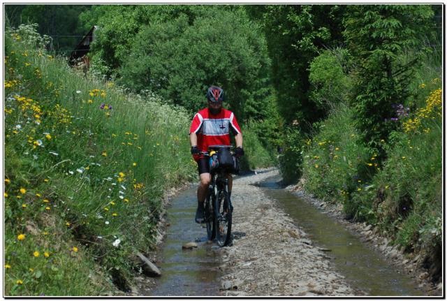
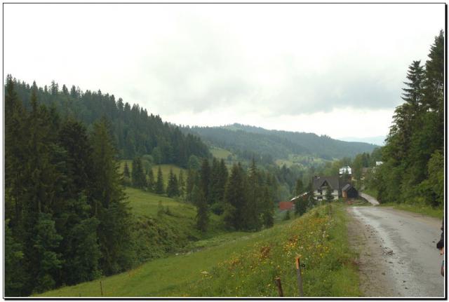
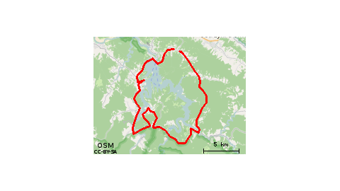
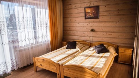
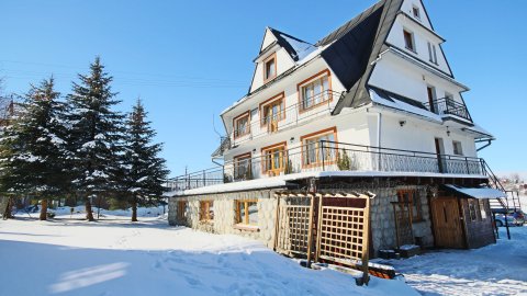
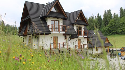
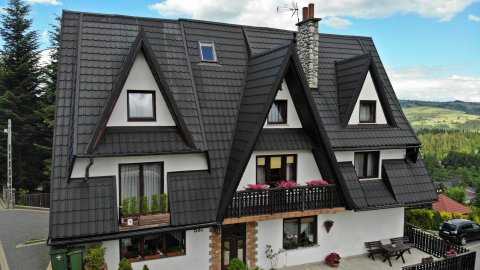
Bukowina Klin, we take the asphalt in the direction of Dolna Bukowina where at the traffic circle to the right the first exit to Jurgow. Behind Jurgow where the bypass road connects we turn left into a minor road. After about 1 km we leave the asphalt and take the off-road road leading to the upper station of the ski complex "Hawrań" i.e. Górków Wierch. We continue on the main ridge of Magura passing the border and passing the asphalt road (running from Wojtasiej Polana to Pol. Solisko) steeply up to Suchy Wierch. We continue on the main ridge where every now and then roads diverge to the left and right. Keeping to the path running around the main ridge of the road (poorly visible in places) we pass old Polish-Slovak border posts....1938. In the area of Rzepiski (Rzepiski W. 1267 m) steeply up we reach the south slope. If we want to conquer Rzepiski W. we have to turn right up to the top and then back downhill and up to Przysłop. Continue in an easterly direction to the area of Osturniańska Przeł. (crossroads at the "Tablica") where the asphalt road from Zdziarska Przeł. to Ostrurni, Dol. Bystrej leads. Now we take the blue trail to Zdziarska Jaworzynka (Prehrstie). We continue on to Magurka (1193 m). On Magurka we leave the blue trail and turn left on the yellow trail (in the lower section on the right side there is a possibility to visit Osturnia Lake) - Osturnia, on the asphalt road we turn left, after about 2 km we turn right on the asphalt road (yellow signs). Steep ascent to Przeł. nad Łapszanka (Łapszanka - Wyżni Koniec). On this section on the right side the nature reserve "Small Osturniańskie Lake". Now left through Rzepiska i.e. Bryjów W. and Wojtyczki in the direction of Jurgów through Brzegi (uphill) to Bukowina T.