:D
dave8881 • 27.06.2016:)
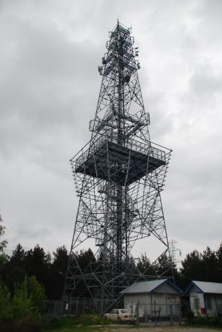
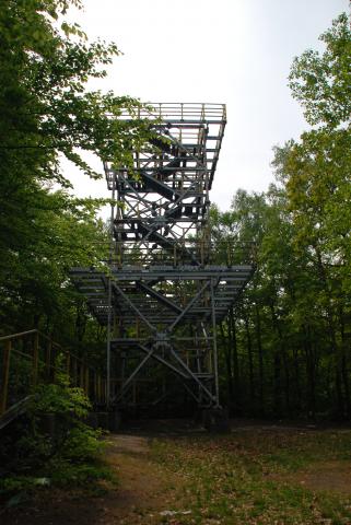
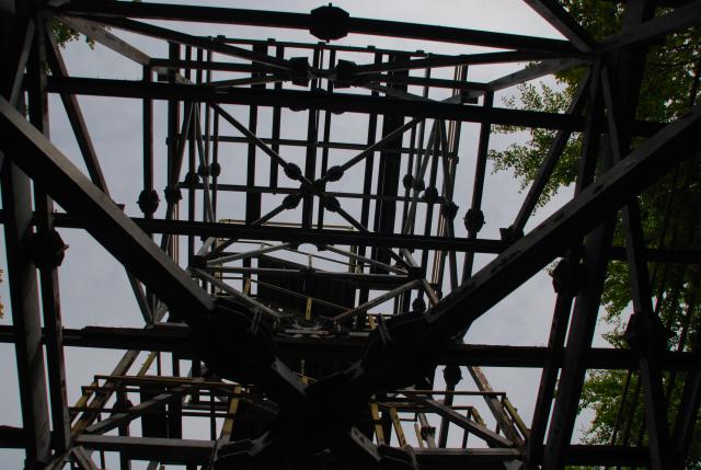
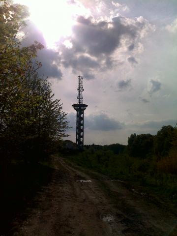
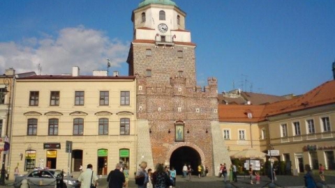
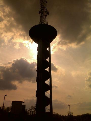
Kraszewska Monika • 14.05.201612.07.2011 according to some sources the tower reopened :-)
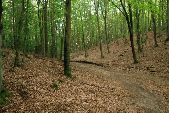
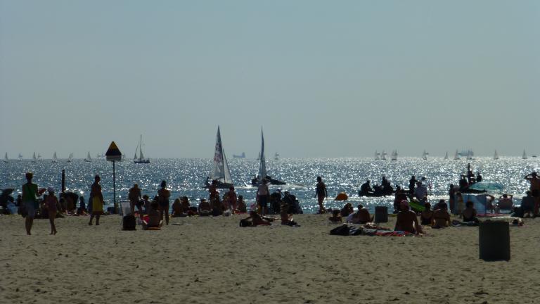
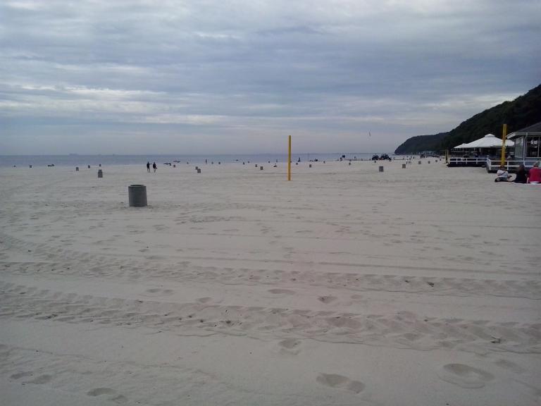
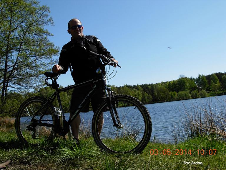
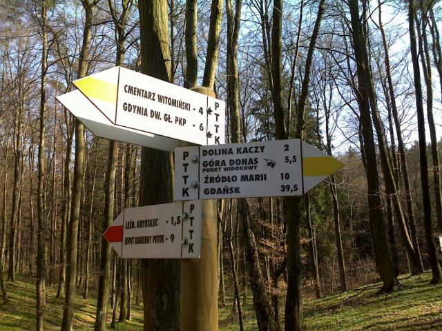
preserve • 12.07.2011Very nice route, although in the heat at times too sandy :)
ekkaja • 29.06.2011Very visually appealing and passable without special effort. Some sections very sandy so best to go after rains.
preserve • 25.06.2011The route is great, lots of climbs, and we like that ;-) However, I think there will be a lot of sand under the wheels in the less humid season.
juice • 25.06.2011The route is very cool, especially for getting back in shape after a long break. NOTE!!! Information as of 24.06.2011, the observation tower is closed to the public until further notice.Decision from the head office according to Mr. Caretaker.
preserve • 25.06.2011The route is OK. Nice views from the towers.
rafal_gd • 30.11.2010