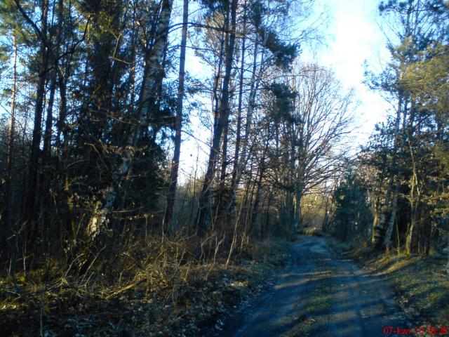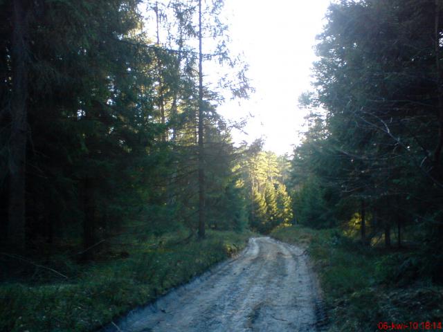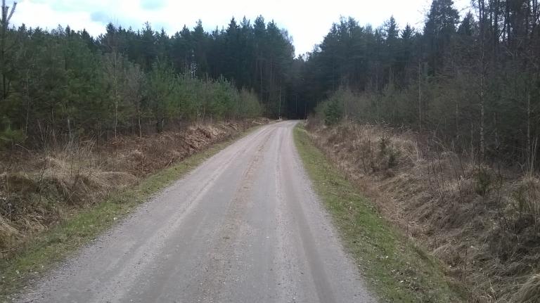
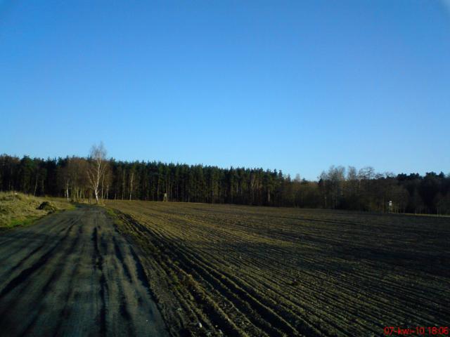
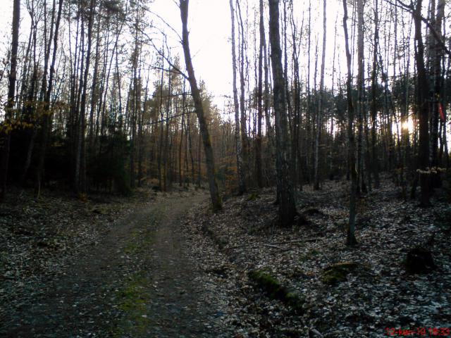
The route largely passes through forested areas.
mariusz2015 • 19.05.2015Passed more than once :)
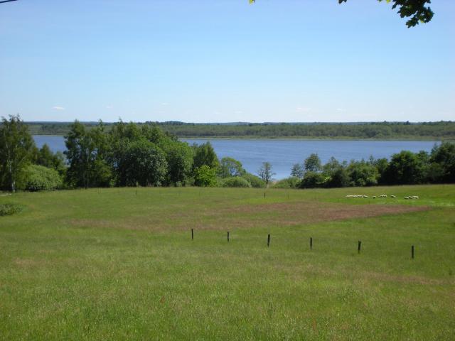
tymooteusz • 24.01.2014An interesting route. At times you can get tired, but it is worth it. The view of the "Green Hills" great.
alex88 • 25.07.2011Cool route. I've been there.
jw73 • 28.06.2010The route is very pleasant and varied. In places it is difficult to ride and you have to lead the bike. For a short weekend trip I recommend it because of the charming landscapes.
fruzia1 • 03.06.2010Very pleasant, charming and varied route. I recommend:)
shrubbery • 19.04.2010