Passed more than once :)
mariusz2015 • 19.05.2015How to download the gpx?
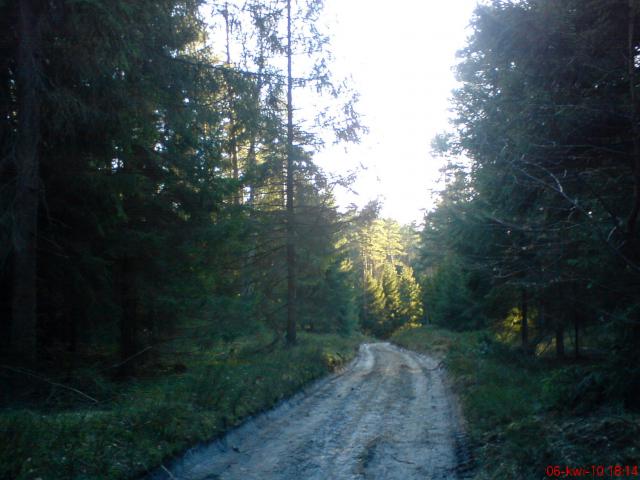
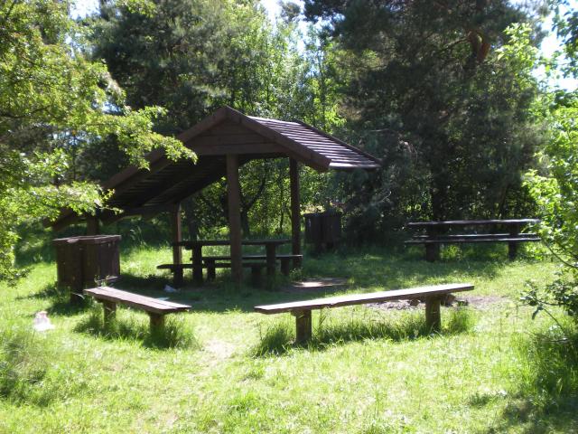
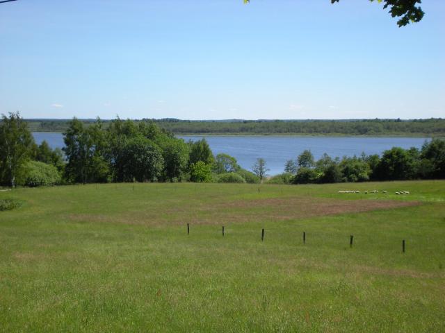
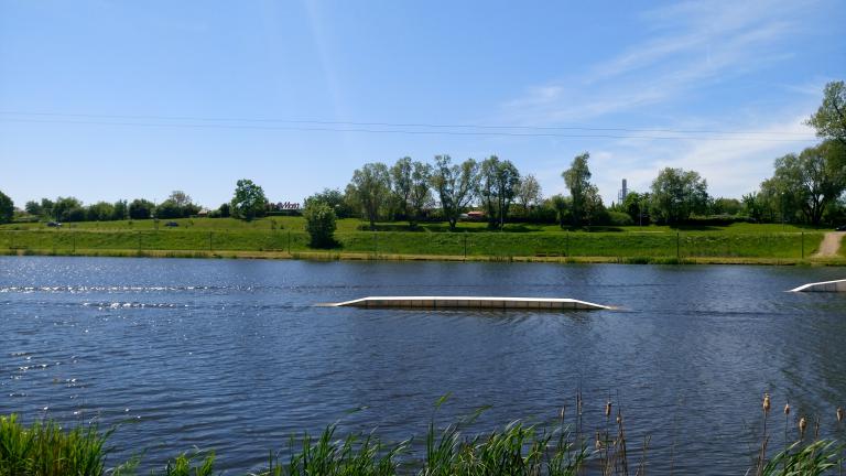
Heniek ZHelu • 30.03.2014Rode today, at a slightly longer distance of 35km. The route ok, peace and quiet away from civilization, and this descent from Chlmska Mountain to Kłos, revelation ... http://www.gpsies.com/map.do?fileId=noowlpyxydlccewp
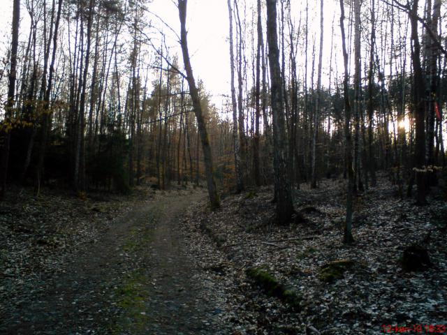
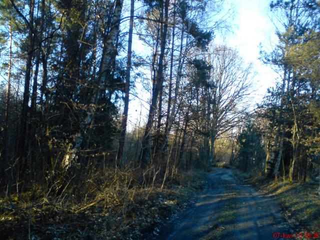
tymooteusz • 04.09.2010I often ride it, it's not long or too strenuous, but it helps improve fitness.
shrubbery • 15.04.2010