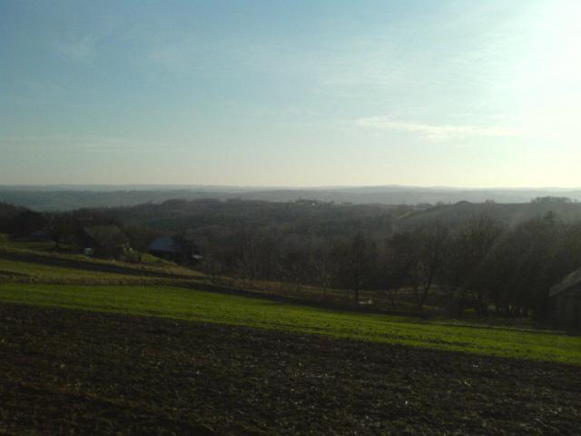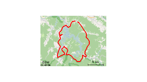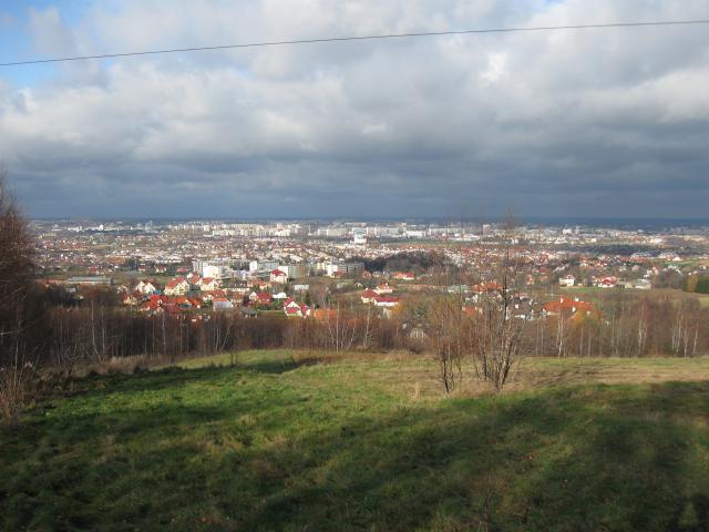
For locals for a quick outing the route is ok, a beautiful panorama of the area at the very top. However, beyond that there are few green sections outside of traffic. For visitors raczej not very attractive and it is better to go far outside the city. If one really wanted to go here for a blanket with a view it is probably best to stop at the stage of the black trail, between the end of Zelwerowicza street and the beginning of the gravel road, according to the author's description. Peace, quiet, nature. You can light a barbecue and lie in the grass on the slope until dusk.
graffit01 • 19.06.2017pleasant route
Michal Wojewoda • 21.08.2016Crazy is not, a lot of houses around whom I would not ask about "this" hill "altogether this corner is" ;) As such a hill where you could relax and enjoy the panorama is lacking:/ Views along the road nice, except for the cars passing constantly ;)
~annneczka87 • 05.10.2014didn't like it:) think unpleasant route for cyclists
pyzio19 • 24.08.2013Recommended. It's worth it, it's nice.
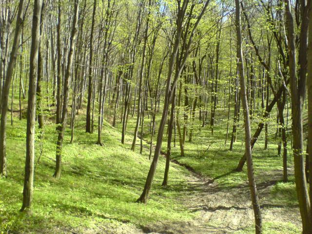
anna-kalaska • 25.08.2011Beautiful views and not easy for beginners terrain (difficulty on the steep climb) to a great descent through the forest. The route is really worth visiting especially that nie requires driving a lot of kilometers.
asbestos87 • 22.12.2009